
Which Key West Neighbor Source Answers the Block Question?
There is no official master list of everyone living around a Key West address. Instead, use a small set of public sources that describe land, ownership, government activity, or a limited class of people. The first table keeps those roles clear.
| Source | What It Shows About a Block | Access |
|---|---|---|
| Property Appraiser parcel map | Lot pattern, parcel boundaries, linked owner records | Free online and at the office |
| Key West Land Use Map | Zoning, historic district, land use, transient area | Free city map |
| eTRAKiT | Permits, code, projects, and inspections by address | Basic public search; free account for more |
| Landmark | Earlier owners and recorded parties | Free index; Clerk fallback |
| Florida voter extract | Nonprotected registered voters by residence | Monthly state file |
| FDLE neighborhood search | Registrants within a chosen official search area | Free, narrow-purpose registry |
Property ownership is usually the best map key, but it is not a household roster. A Key West neighbor may rent, share a home, be too young to register, use protected records, or simply appear in none of these sources.
Map Key West Neighbors One Parcel at a Time
Start with the target address in the Monroe County Property Appraiser parcel map. Select the correct parcel, then zoom until the surrounding lot lines are clear. The research confirms pan, zoom, and parcel selection, but it did not verify a buffer or radius tool. Do not assume a control exists merely because another GIS offers one.
- Find the address and confirm its situs and parcel ID.
- Save the legal description and selected parcel outline.
- Click each adjoining polygon and open its parcel report.
- Record owner and mailing destination as separate fields.
- Add city land-use and permit context only after the lots match.
The parcel report can include account identifiers, owner, mailing address, situs, legal description, values, sales, exemptions, building details, and a map. A different mailing address may reflect a second home, company, trust, estate, or ordinary correspondence choice. It does not prove that the Key West parcel is vacant.
Owner Maps Are Not Key West Household Maps
The distinction between landowner and occupant is especially important in Key West. Second homes, seasonal use, vacation activity, trusts, companies, and absentee ownership are common enough that owner and occupant should never be treated as synonyms. The situs is where the land lies; the mailing field is where assessment notices go.
Official parcel roll
Identifies assessed parcels, named owners, mail and situs fields, legal descriptions, sales, and exemptions. It is maintained by a public custodian and has defined purposes.
Commercial neighbor tools
Compile government, purchased, or volunteered data. Results may be stale, merged between people, incomplete, or sold behind a fee. They are not certified records.
A homestead exemption is consistent with owner occupancy, but it does not identify spouses, children, roommates, guests, or renters. State only the displayed fact, then seek an independent record when identity matters.
Add Key West Zoning, Historic, and Flood Context
The Key West Land Use Map searches by address or parcel and adds layers the Property Appraiser does not maintain for the same purpose. Useful layers include zoning, historic district, land use, transient and non-transient areas, commissioner districts, flood or elevation context, corridors, and roads.
Those layers describe the setting, not the people. Old Town's historic fabric can produce preservation records; Bahama Village has distinct redevelopment and community context; Stock Island is a recurring postal-city and jurisdiction trap. A mailing label that says Key West does not by itself prove the parcel is inside incorporated Key West.
When the block crosses a government boundary, confirm jurisdiction before asking for a permit or code file. Monroe County and Key West keep different local records, so the correct map layer can save a misdirected request.
Read Permit and Code Files Around a Key West Block
Key West eTRAKiT supports searches across permits, planning projects, contractors, properties, code, and customer issues. Public users can search basic information by category, matching operator, and value. A free account can link records and reveal added detail. Search each address rather than treating one permit as evidence about the whole block.
A permit result may show type, status, address, contacts, project details, and inspections. Property tabs can include parcel, owner, restrictions, land use, building, legal description, and inspections. These records identify people connected to a project, not necessarily residents.
The Key West Code Enforcement page explains complaint and record channels.
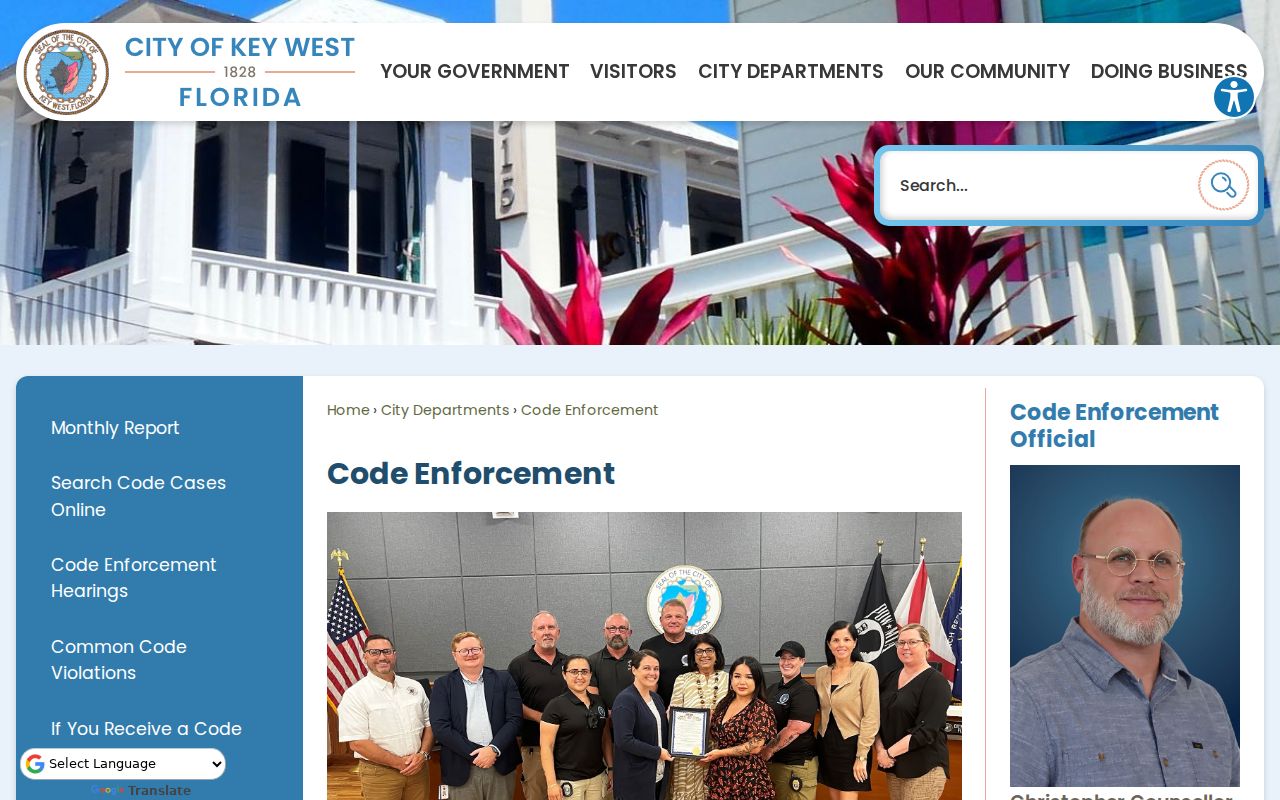
Anonymous code complaints are generally no longer investigated under the city's stated rule. A reporter's name and address can become public, subject to legal exceptions. That unusual fact means the file may identify both the reported property and the reporter, but it must not be read as a directory of neighbors.
What Florida's Voter Extract Shows About Key West Neighbors
Florida separates the identity-gated voter status tool from the monthly public extract. The self-lookup is meant for one voter to confirm status and polling information. The statewide extract is the proper channel for lawful street or block filtering.
The extract includes active and inactive voters through the end of the prior month. Public fields can include name, residence components, party, status, precinct, public phone or email when present, and election participation history. Participation means that a person voted in an election; it never reveals a ballot choice.
Confidential and exempt residents, preregistered voters, and Address Confidentiality Program participants are excluded. Nonvoters are absent, and updates can lag. An inactive flag can result from list-maintenance steps and does not prove a move. Filter standardized street, house-number range, unit, ZIP, and precinct carefully, while keeping leading zeros intact in the tab-delimited file.
A Narrow Official Safety Search Near Key West Neighbors
The FDLE Sexual Offender and Predator Registry has a neighborhood mode using address, city, ZIP, and radius, as well as name and geographic searches. This is a narrow registry created for a defined public-safety purpose. It is not a complete list of Key West neighbors and should never be presented as one.
Results may show a photograph, name, designation, status, reported address and source date, offenses, aliases, and vehicles. FDLE warns that reported information is compiled rather than independently verified. Fingerprint comparison is needed for positive identity, so a similar name or nearby map marker is not enough.
The registry leaves out almost everyone on a block because it covers only people subject to registration. Use its warnings and current official details, and do not generalize a result to other people at the same address.
Community Contacts Are Not Public Key West Neighbor Rosters
The research found no authoritative, comprehensive inventory of Key West neighborhood associations or homeowners' groups and no verified public member-directory status. That gap matters. A city resource directory, chamber listing, congregation, civic group, or named association can be checked on its own terms, but none should be said to expose a private roster.
| Community Channel | Useful Public Contact | Boundary |
|---|---|---|
| City staff directory | Department, staff name, phone, or email | Municipal contacts, not resident members |
| Chamber business directory | Public business contact | Business listing, not a household roll |
| Named civic or neighborhood group | Public officer or official contact page, if published | Membership and rosters may remain private |
| Congregation or community organization | Public office and event contacts | Affiliation should not be inferred from proximity |
Ask a group to forward a polite message when direct contact is appropriate. That protects a private member list while still giving a neighbor the choice to respond.
Extend a Key West Block Search Without Rebuilding the Street
The block method stops after the parcels immediately around the starting point. If the question expands to a whole named road, use the Key West street directory walkthrough. That process moves parcel by parcel along the street and adds deed chains, address-keyed city records, voter extracts, and historical reverse directories.
For a nearby parcel's earlier owner, Landmark can add recorded parties from 1954 forward and online images from late 1984 forward. Search by the owner, legal description, or a cited book/page. An older record or unavailable image belongs at the Monroe Clerk counter. This short historical check can explain why an owner's name changed without turning the neighbor page into a full house history.
Privacy Limits for Your Key West Neighbors
Renters, household members, minors, nonvoters, utility customers, delivery data, confidential voters, and protected parcels do not become visible merely because a map is public. Florida's Address Confidentiality Program provides substitute-address and mail-forwarding protection for eligible people, and section 119.071 contains additional occupation or person-specific exemptions. Protection can be custodian-specific.
A qualifying person may need a separate Property Appraiser request for each parcel and may need to contact the Clerk and utility custodians as well. A blank field or no-result can therefore be a lawful safety feature, not evidence that nobody lives at the address.
Lawful use. Use Key West neighbor records for civic curiosity, respectful contact, or personal safety awareness. Never watch, intimidate, threaten, or harass anyone.
Keep notes source-specific. Write “parcel owner,” “registered voter,” or “permit applicant,” not “resident,” unless a source and a second reliable anchor support that claim. That simple label keeps public facts from becoming an intrusive story about a private household.